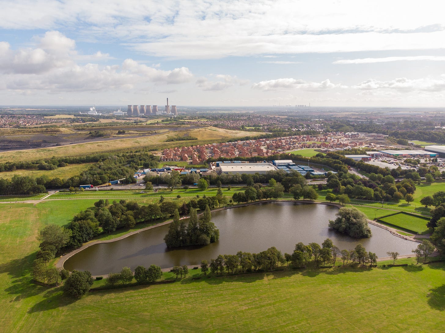
About a mile away from where I live on the west/south Yorkshire border, an ancient right of way passes through the parish. The right of way — sometimes a byway, sometimes a bridleway, sometimes a footpath, sometimes comprising sections of metalled minor road — can be traced on the map from banks of the Don at Conisborough to the outskirts of Pontefract, where it joins the main road that forks towards the former ford of the river Aire at Ferrybridge, before heading north to join Dere Street at York. That this is no ordinary right of way is signalled in its name: 'Old Street’; ‘Street’ being derived from the Roman ‘strata’ — the route was once an important Roman road. However, the historian David Hey contends that the antiquity of the route goes as far back as the Bronze age, and possibly into the Neolithic.
The reason for the persistence of the route is not hard to find. When travellers journeying north arrived in what is now South Yorkshire, they found themselves hemmed in by fenland to the east, and the high, broken ground of the Pennines to the west. Funnelled into this gap, they met another formidable obstacle in the form of the river Don. However, near Conisborough, conditions allowed a ford to be established, a ford that was still in use in the 18th century and was at that time named ‘Strafford Sands’ — ‘Strafford’ for the wapentake, ‘Sands’ denoting the material of the river bed that made a crossing possible. Old Street then, is the south/west Yorkshire branch of what was once a major highway connecting the peoples of the island of Britain.
Keep reading with a 7-day free trial
Subscribe to Boundless Magazine to keep reading this post and get 7 days of free access to the full post archives.


